As our climate changes, marine heatwaves are becoming more frequent and longer lasting, with potentially severe impacts on marine ecosystems and the fisheries they support. This could include changes to the survival, behaviour and distribution of marine species targeted by commercial fishing, along with the food sources they rely on. South-eastern Australia is recognised as a climate change hotspot predicted to experience more severe marine heatwaves over the coming years.
So, how can we safeguard our valuable fisheries against the impacts of marine heatwaves?
Ocean temperature observations and forecasts are continually improving, however, often occur only on a scale that is too coarse to be useful for commercial fishers and marine farmers.
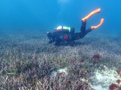
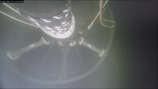
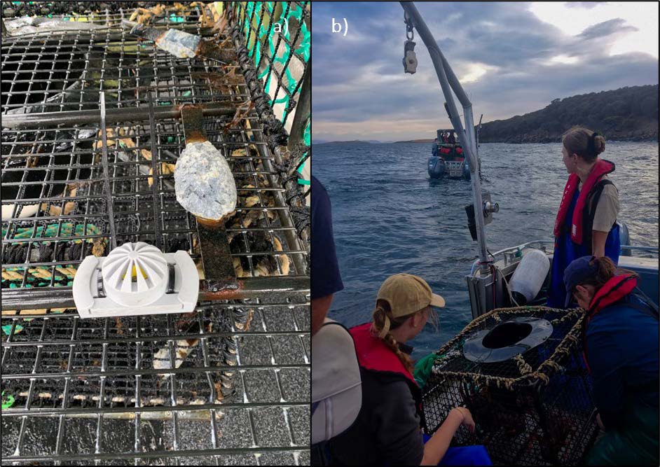
Recently, IMAS partnered with commercial fishers from the octopus, scalefish and rock lobster fisheries to deploy temperature loggers on fishing gear off Tasmania’s east coast during a marine heatwave event. More than 70,000 temperature measurements were taken over 220 logger deployments between February and May 2024.
This enabled water temperature data to be collected at the locations and depths relevant to fishers and to be compared with satellite temperature observations and the local marine heatwave status at the time of deployment. This data was then provided back to the fisher by way of an individualised report.
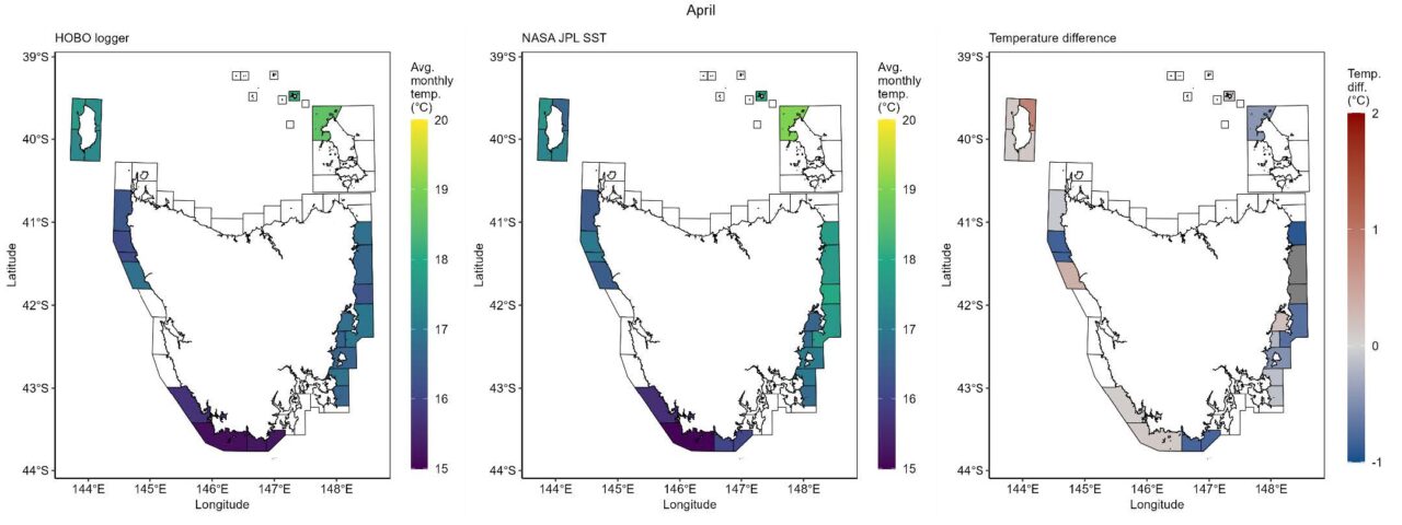
Water temperatures were generally found to be warmer in the north of the state compared with the south. Sub-surface water temperatures collected by the loggers were often cooler than satellite-derived sea surface temperatures, except for at a few locations north of Flinders Island and around King Island at certain times.
This project was successful in trialling methods to collect fine-scale sub-surface temperature data across a large area. Future streamlining and application of these methods will improve the accuracy of ocean temperature data, giving fishers an insight into the role temperature plays in affecting their catch rates and helping them understand and adapt to shifting local conditions.
The full report can be accessed here.
IMAS would like to thank all the commercial fishers who were involved in this study. This project was funded by the Fisheries Research and Development Corporation (FRDC) and Tasmania’s Department of Natural Resources and Environment (NRE).