Have you ever looked at the ocean surface and wondered what lies beneath? Do you ever ponder what life is like as a marine scientist operating from an underwater office?
Tasmania’s population is concentrated along the coast and some incredible marine environments are found right on our doorstep. However, for most people, these environments are inaccessible.
Now, video footage from reef surveys conducted by our team throughout the vast and wild Storm Bay, located right in Hobart's backyard, is available to view on Tasmania’s Marine Atlas.
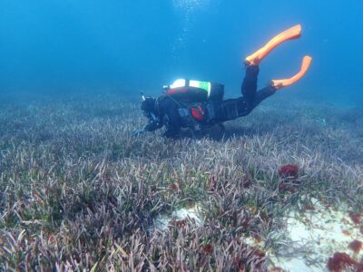
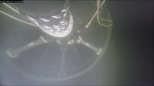
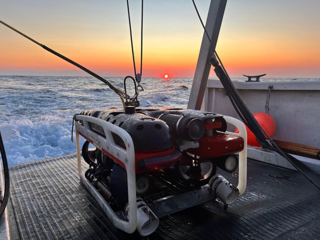
This footage was taken during extensive reef surveys conducted over a three-year period as part of the project, FRDC 2019-131 The Storm Bay Observing System: Assessing the performance of aquaculture development. During this project, 26 shallow inshore reef sites were monitored biannually by divers and four deep reef sites were monitored annually using a remotely operated vehicle (ROV). These surveys enabled a better understanding of the baseline conditions at each of these reef sites, so that any changes in the health of these habitats into the future can be detected.
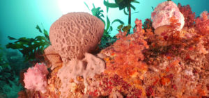
Now, you can have a divers-eye view into the lush kelp forests of Storm Bay’s shallow reefs and the colourful, complex sponge gardens of the deeper reefs. Reef sites are located along the north-east coast of Bruny Island, around Betsey Island and down the western side of the Tasman Peninsula.
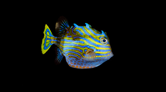
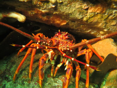
You might even spy some friendly marine wildlife, including Shaw’s cowfish, banded morwong, Australian fur seals and southern rock lobster.
Visit the layer on Tasmania’s Marine Atlas HERE to dive in! Click on each of the map pins to view the underwater habitat at each site.